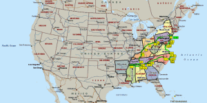
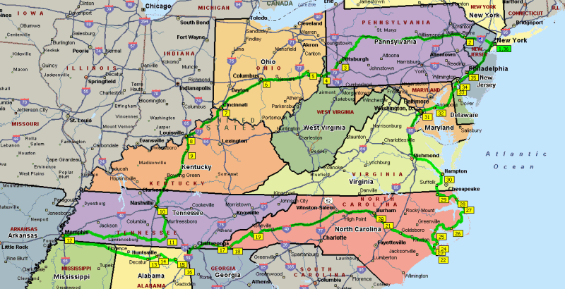
3'430 Miles
5'518 Km
15 States
1 Federal District
1 Indian Reservation
9 Cities
3 National Parks
2 Ferries
6 Suspension Bridges
8 Rivers
| |
|
11 Days
3'430 Miles 5'518 Km 15 States 1 Federal District 1 Indian Reservation 9 Cities 3 National Parks 2 Ferries 6 Suspension Bridges 8 Rivers |
| Day #01 - Mon, 06/11/2006 | |||||
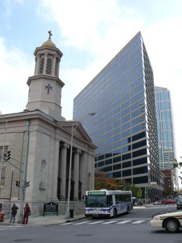
| Miles 0000 - New York | NY |  |  | ||
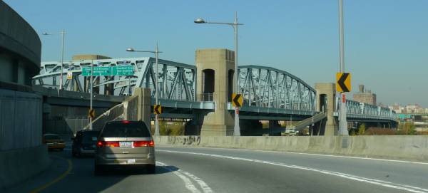
| 01 | Miles 0008 - Queens: Triborough Bridge | ||||
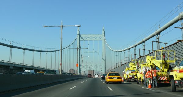 | Opened in 1936, it's the 78th longest suspension bridge in the world (421m, 1380ft) and connects Queens with Manhattan/Harlem and the Bronx over Wards Island in the East River. In 2008 is was renamed Robert F. Kennedy Bridge (or RFK Bridge for short). | ||||
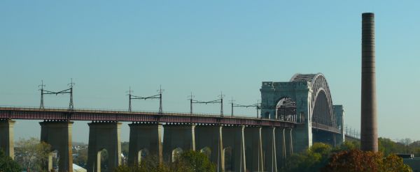 | The Hell Gate Bridge, the railroad bridge next to the Triborough Bridge. | ||||
 | Bronx Kill Crossing, which is the Bronx-bound branch of the Triborough Bridge. | ||||
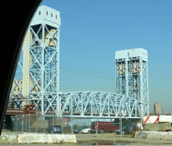
 | Harlem River Lift Bridge, which is the Manhattan-bound branch of the Triborough Bridge. | ||||
 | Willis Avenue Bridge over the Harlem River. This is the old bridge built in 1901. It was replaced after this picture was taken, in 2011. | ||||
 | Park Avenue Bridge over the Harlem River, a railroad bridge carrying the MTA Metro North lines. | ||||
| 01 | Miles 0014 - Bronx: Yankee Stadium | ||||
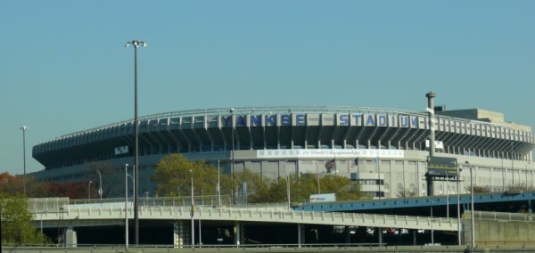 | Home of the New York Yankees MLB baseball team. This is the old 1923 stadium, replaced in 2009. | ||||
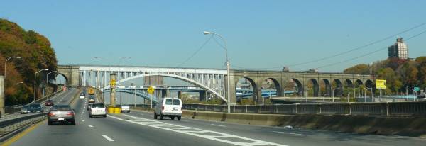 | High Bridge (or Aqueduct Bridge) over the Harlem River. The aqueduct and crossing have been closed since 1970, but it is still the oldest surviving bridge in NYC, built in 1848. The blue bridge behind it is the Alexander Hamilton Bridge, which carries I-95 towards the George Washington Bridge. | ||||
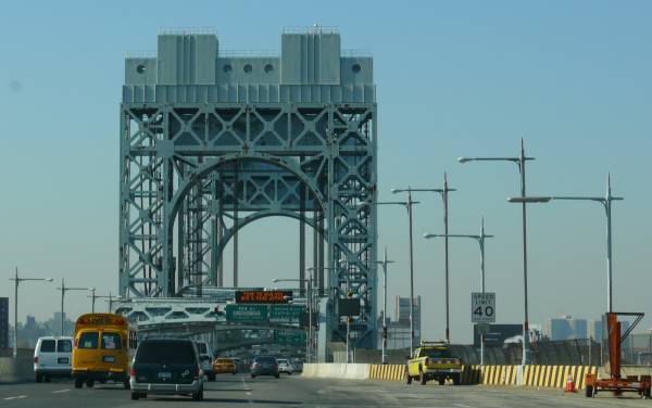
| 01 | Miles 0017 - New York: George Washington Bridge | ||||
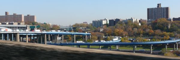 | Ramps connecting the Alexander Hamilton Bridge, Washington Bridge and Harlem River Drive to the George Washington Bridge. | ||||
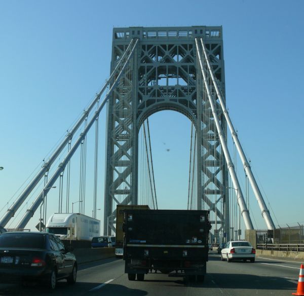 | The eastern tower seen from the anchorage. Opened in 1931, it's the 14th longest suspension bridge in the world (1067m, 3500ft) and connects the northern end of Manhattan to Fort Lee in New Jersey over the Hudson River. | ||||
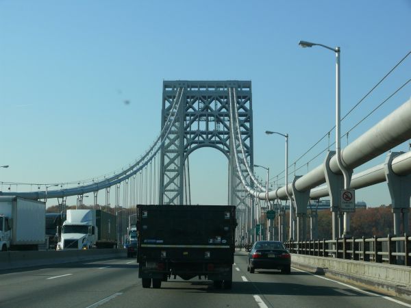 | The western tower seen from the middle of the span. | ||||
| Miles 0017 - New Jersey | NJ |  |  | ||
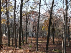
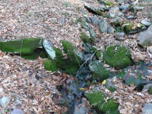
| 02 | Miles 0090 - Delaware Water Gap | ||||
| |||||
| Miles 0093 - Pennsylvania | PA |  |  | ||
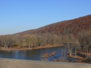
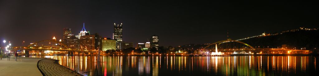
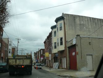
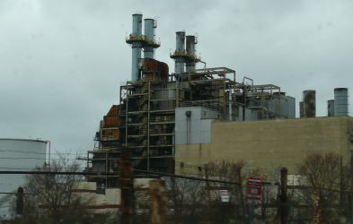
| 03 | Miles 0408 - Pittsburgh | ||||
 | |||||
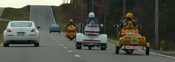
| Along the I-70. | ||||
| Day #02 - Tue, 07/11/2006 | |||||
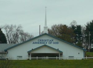
| Miles 0500 - West Virginia | WV |  |  | ||
| Along the I-70. | ||||
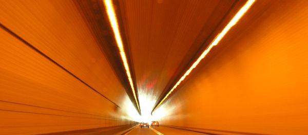
| 04 | Miles 0513 - Wheeling | ||||
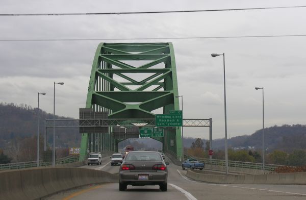
| Along the I-70. | ||||
| Miles 0514 - Ohio | OH |  |  | ||
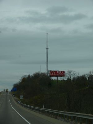
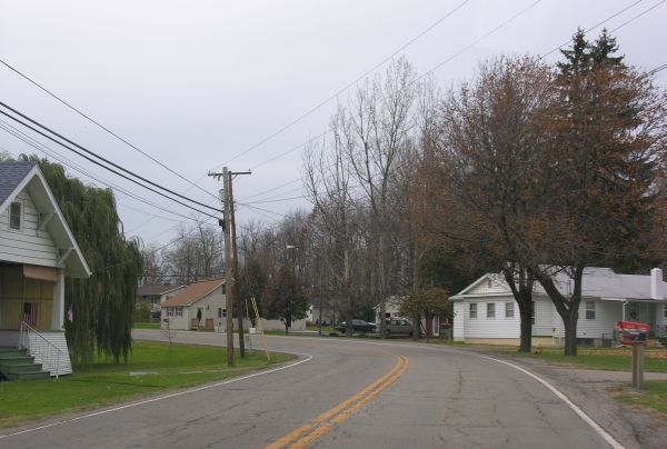
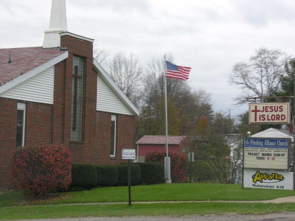
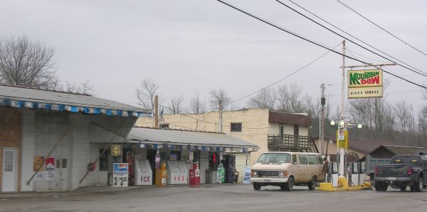
| 05 | Miles 0536 - Flushing & Holloway | ||||

| |||||
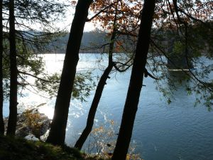
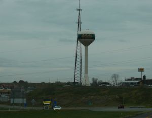
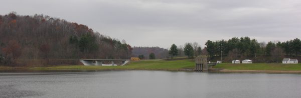
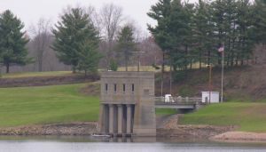
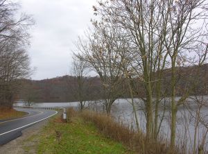
| 05 | Miles 0546 - Piedmont Lake | ||||
| |||||
| 05 | Miles 0578 - Cambridge | ||||
| |||||
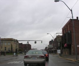
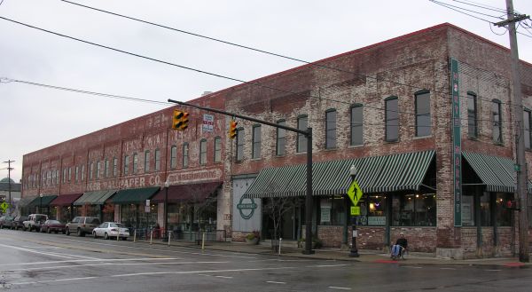
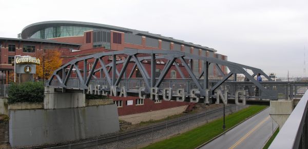
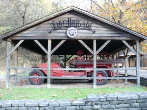
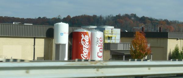
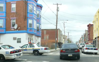
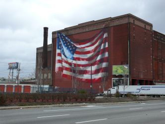
| 06 | Miles 0660 - Columbus | ||||
| Downtown Columbus. | |||||
| |||||
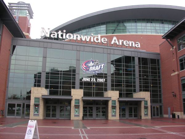
| The Nationwide Arena, home of the Blue Jackets NHL hockey team and Landsharks NLL lacrosse team. | ||||
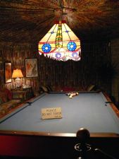
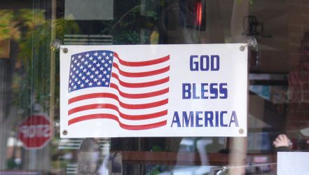
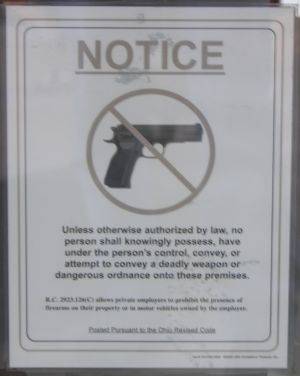  |
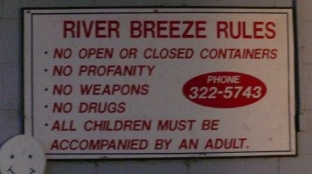
The notice was on the window of a pub in front of the Nationwide Arena.
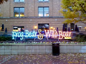
The Frog, Bear & Wild Boar is the nearby bar where we had lunch outside on a rainy day (but it wasn't raining at the moment). | ||||
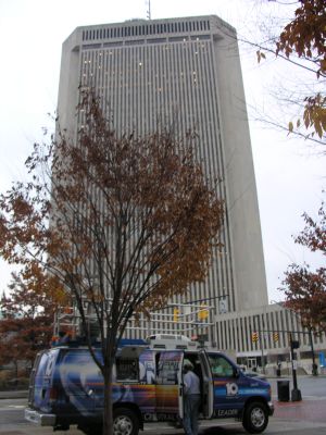
| 07 | Miles 0765 - Cincinnati | ||||
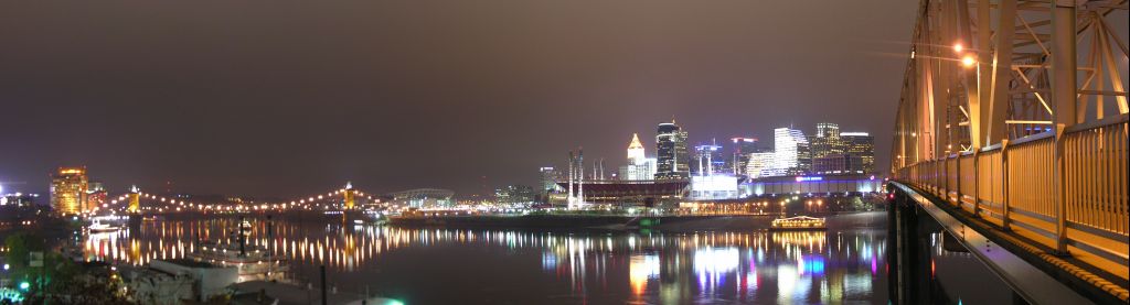 | |||||
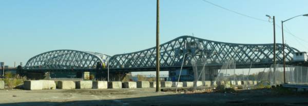
 | The John A. Roebling Suspension Bridge. Opened in 1867, it's the 97th longest suspension bridge in the world (322m, 1057ft) and connects Cincinnati, Ohio, with Covington, Kentucky, over the Ohio River. When it opened in 1867, it was the longest suspension bridge in the world, until it was surpassed in 1883 by the Brooklyn Bridge in New York, which was also designed by John A. Roebling and of which this bridge is a prototype. | ||||
 | A couple of other bridges over the Ohio River. Cincinnati has many bridges. | ||||
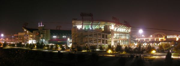
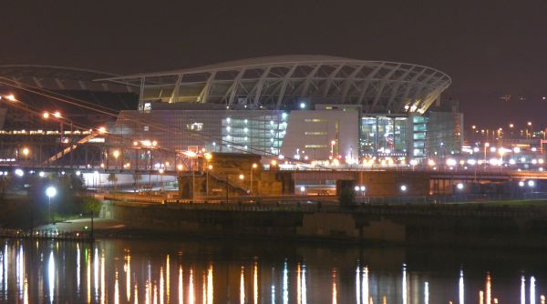 | The Paul Brown Stadium, home of the Cincinnati Bengals AFC football team. | ||||
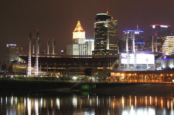 | The Great American Ballpark, home of the Cincinnati Reds MLB baseball team. | ||||
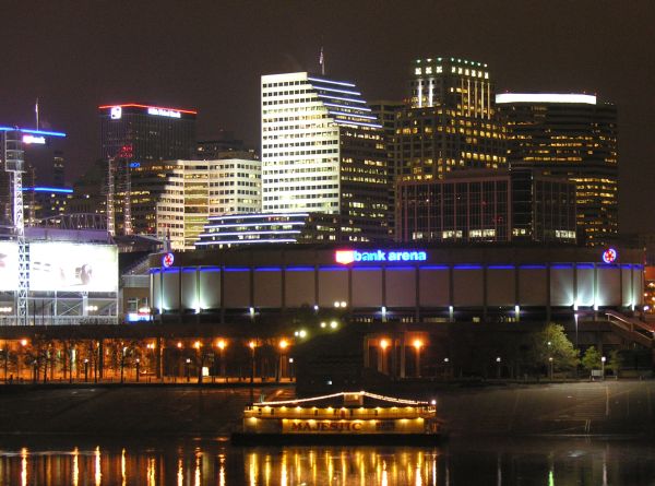 | The US Bank Arena. | ||||
| Miles 0767 - Kentucky | KY |  |  | ||
| 08 | Miles 0866 - Luisville | ||||
| 09 | Miles 0898 - Fort Knox Military Reservation | ||||
| Miles 1006 - Tennessee | TN |  |  | ||
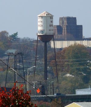
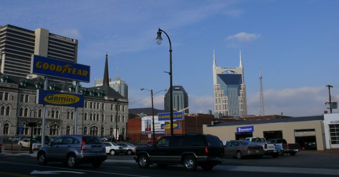
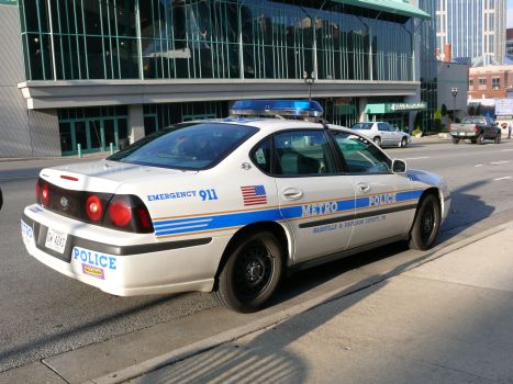
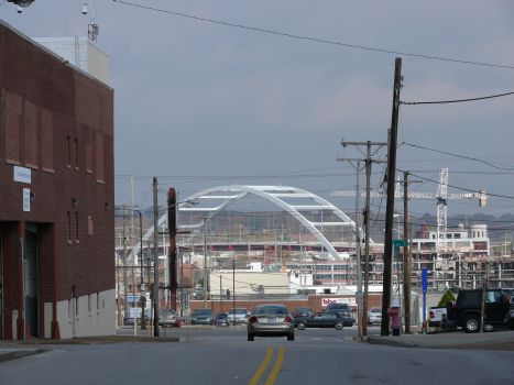
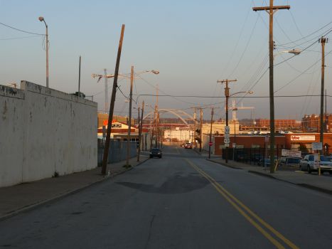
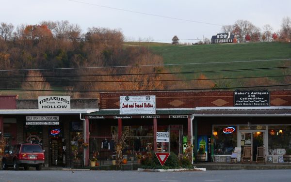
| 10 | Miles 1060 - Nashville | ||||
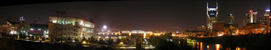 | |||||
| Day #03 - Wed, 08/11/2006 | |||||
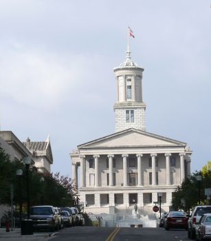
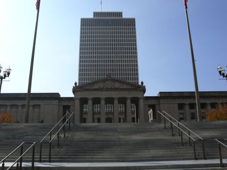
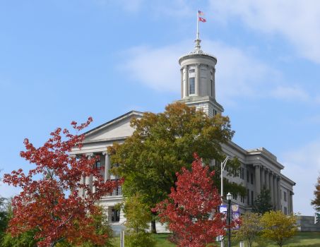
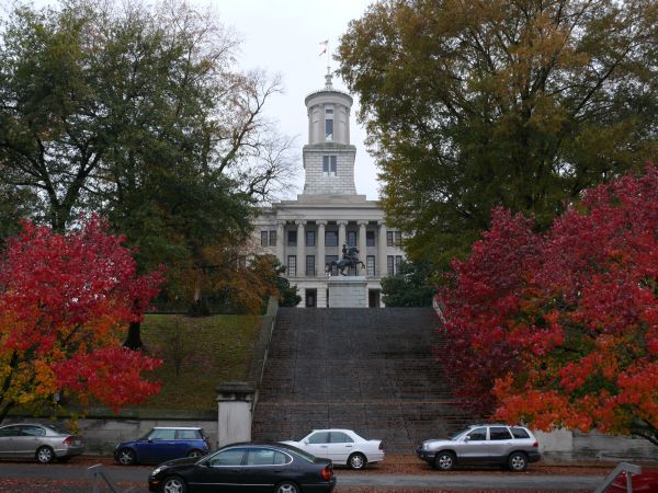 | Tennessee State Capitol. | ||||
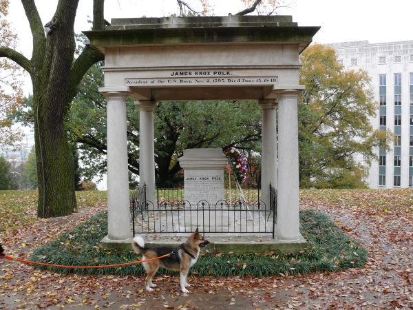 | The tomb of James Knox Polk (1795-1849), 11th President of the US (1845-1849), and his wife Sarah Childress (1803-1891). The tomb is in the middle of the lawn behind the State Capitol | ||||
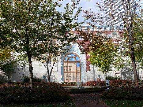
 | The Bicentennial Mall park, behind the State Capitol. | ||||
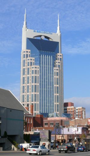 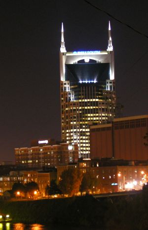 | The Bellsouth Tower, a.k.a. the Batman Building. | ||||
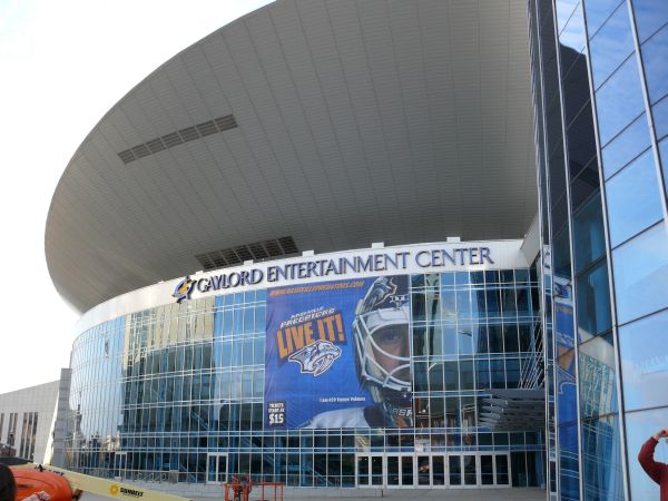
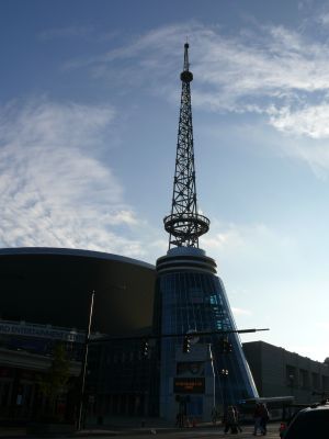
| The Gaylord Entertainment Center, home of the Nashville Predator NHL hockey team. | ||||
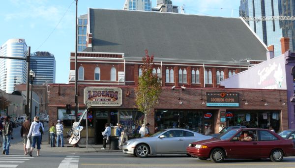
| The tourist shops and country bars on Broadway. | |||||
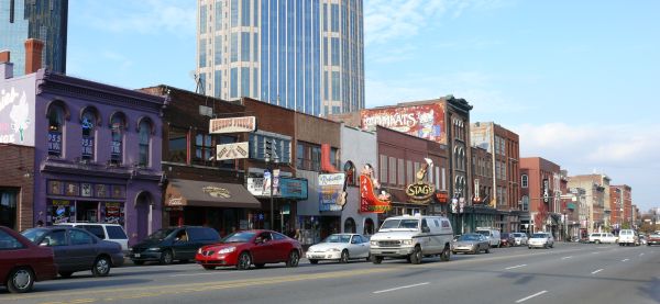
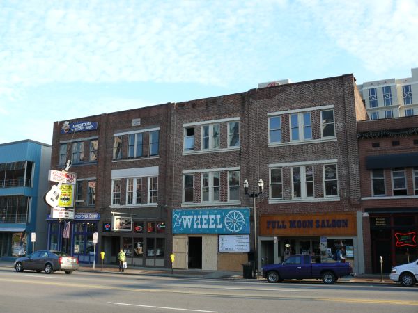
| |||||
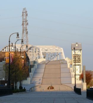
| Downtown Nashville. | |||||
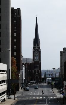
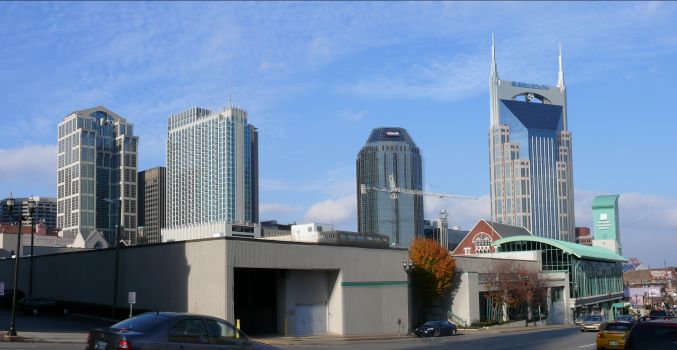
| |||||
| The Shelby Street Bridge and the bridge behind it. | |||||
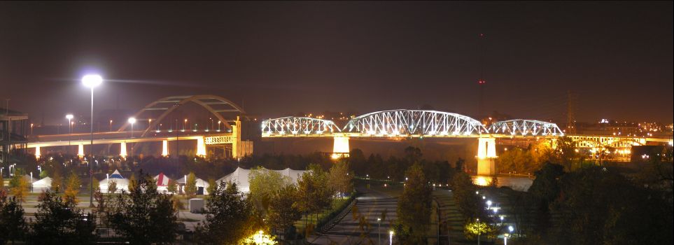
| |||||
| Day #04 - Thu, 09/11/2006 | |||||
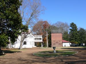
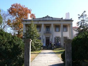
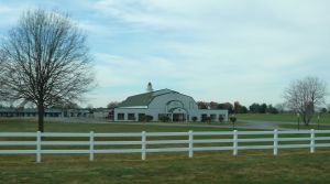
| The Belle Meade Plantation. | |||||
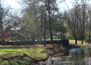 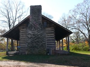
| |||||
 | The LP Field, home of the Tennessee Titans NFL football team. | ||||
| Day #05 - Fri, 10/11/2006 | |||||
| On the I-24. | ||||
| Along the US-231. | |||||
| |||||
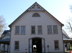
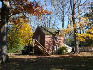
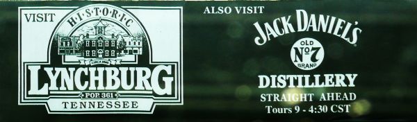
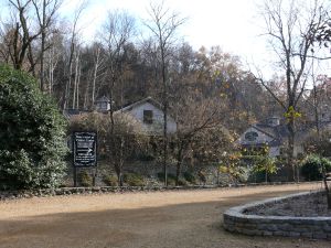
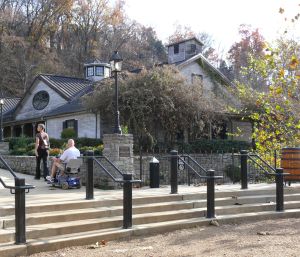
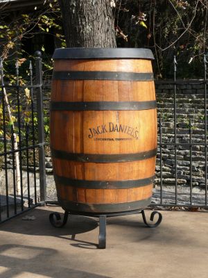
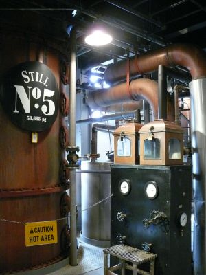
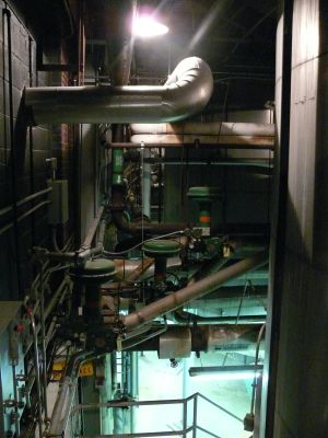
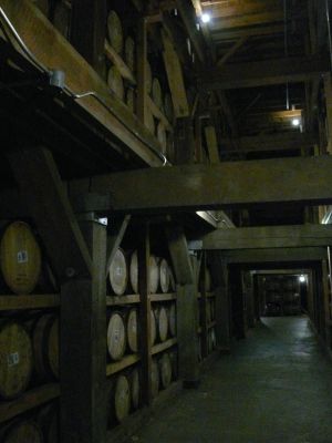
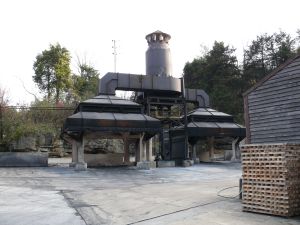
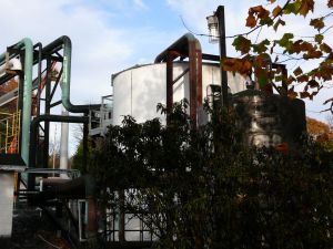
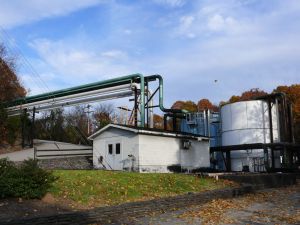
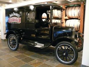
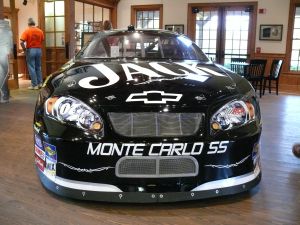
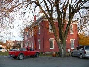
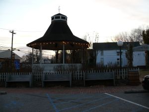
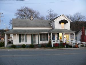
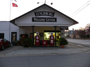
| 11 | Miles 1168 - Lynchburg | ||||
| The Jack Daniel's Distillery. | |||||
| |||||
| Historical Lynchburg. | |||||
| |||||
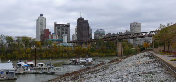
| 12 | Miles 1415 - Memphis | ||||
| Day #06 - Sat, 11/11/2006 | |||||
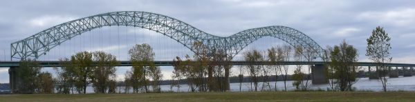
| 12 | Miles 1416 - Mississippi River | ||||
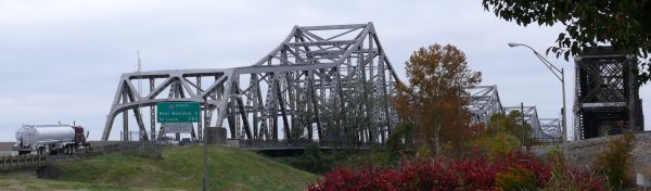 | The Memphis-Arkansas Bridge on I-55. | ||||
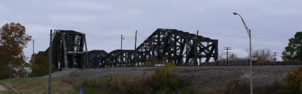 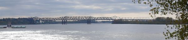 | The Frisco (on the left) and Harahan (on the right) Railway Bridges next to the Mamphis-Arkansas Bridge. | ||||
| Miles 1416 - Arkansas | AR |  |  | ||
| 12 | Miles 1423 - West Memphis (westernmost point) | ||||
| Miles 1430 - Tennessee | TN | | | ||
| 12 | Miles 1430 - Memphis | ||||
 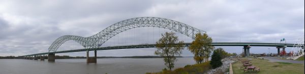 | The Hernando De Soto Bridge on I-40 seen from the Mud Island in the middle of the Mississippi River. | ||||
 | Downtown Memphis seen from Mud Island. The Mud Island Monorail is in the foreground | ||||
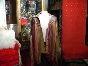
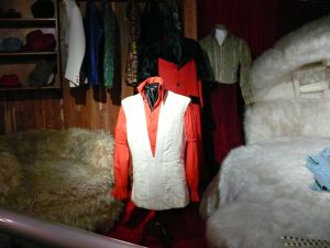
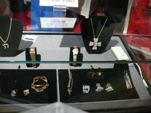
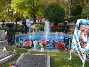
| Graceland (Elvis Presley's house). | |||||
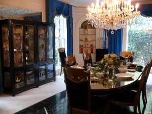
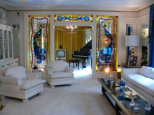
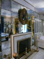
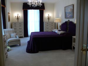
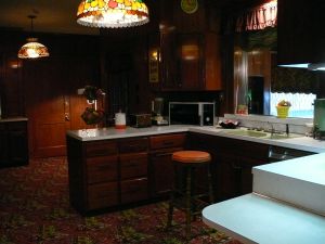
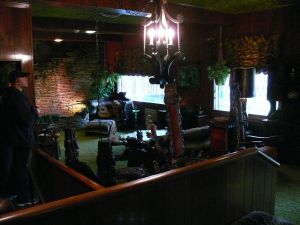
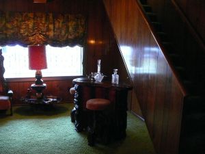


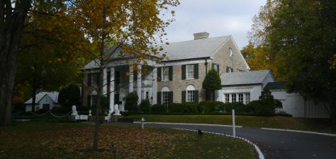
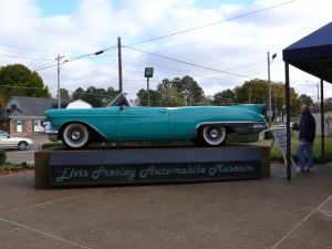
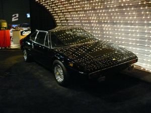
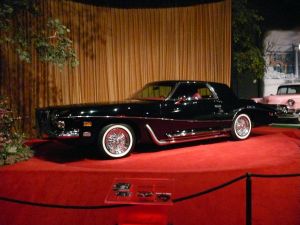
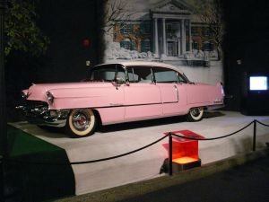
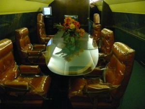
| |||||
| Miles 1470 - Mississippi | MS |  |  | ||
| Miles 1570 - Alabama | AL |  | 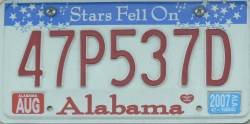 | ||
| Day #07 - Sun, 12/11/2006 | |||||
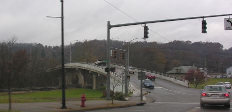
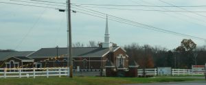
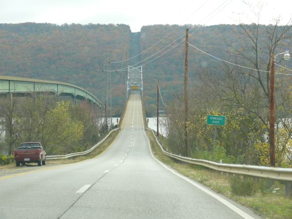
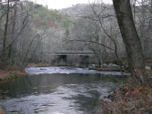
| 13 | Miles 1635 - Decatur | ||||
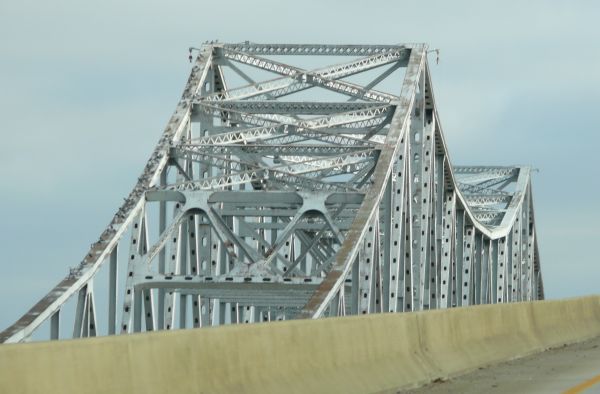
| The bridges over Wheeler Lake, along the Tennessee River. | ||||
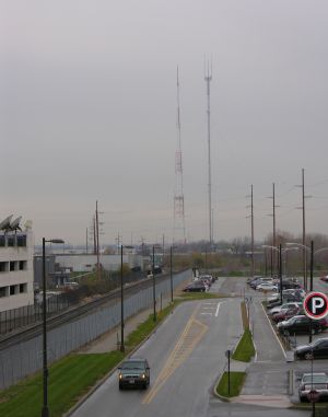
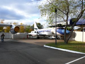
| 14 | Miles 1666 - US Space & Rocket Center, Huntsville | ||||
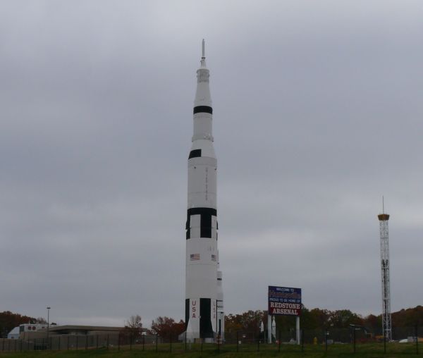 | The Saturn V rocket and the Space Shot ride on its right. | ||||
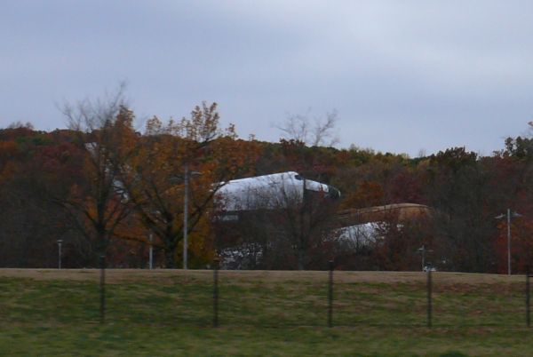 | The Space Shuttle Pathfinder, including the boosters. | ||||
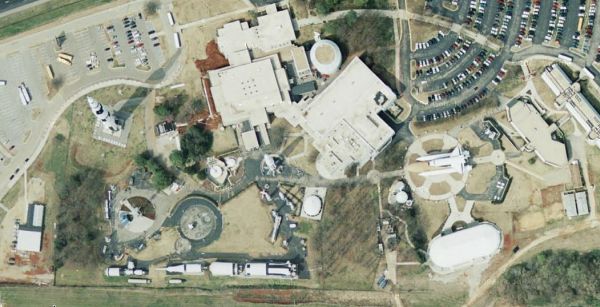 | Seen from the sky (this is a picture from Google Maps). The Saturn V is on the top left. There is another one divided in sections laying on the ground at the bottom, with a Skylab mockup in front of it. The Space Shuttle Pathfinder is on the right. In the center, there is a Saturn IB. | ||||
| Along the I-585. | ||||
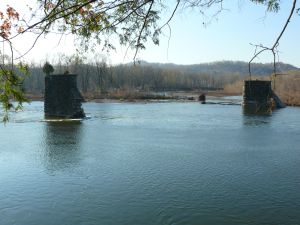
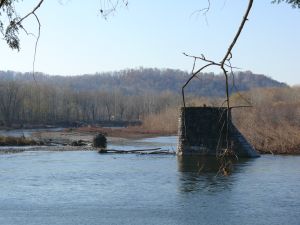
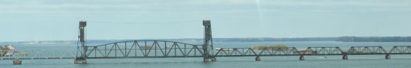
| 15 | Miles 1714 - Tennessee River | ||||
 | The B.B. Comer and Bob Jones Bridges on the Tennessee River. | ||||
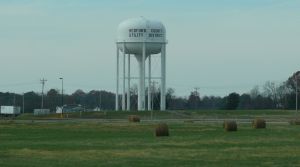
| 16 | Miles 1736 - Fort Payne (southernmost point) | ||||
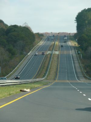
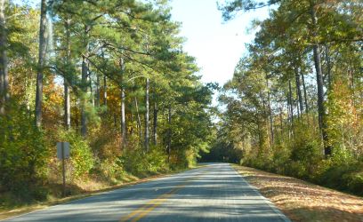
| Along the SR-35. | ||||
| Miles 1759 - Georgia | GA |  | 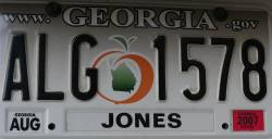 | ||
| Along the I-59. | ||||
| Miles 1781 - Tennessee | TN | | | ||
| Along the I-59. | ||||
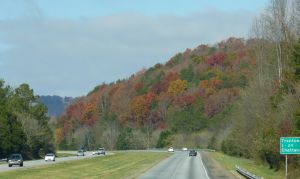
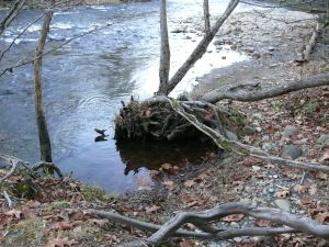
| 17 | Miles 1835 - Cherokee National Forest | ||||
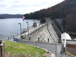 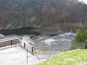 | Ocoee No. 1 Dam on the Ocoee River. | ||||
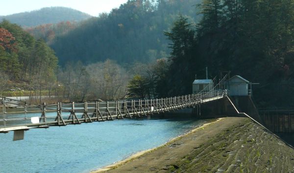
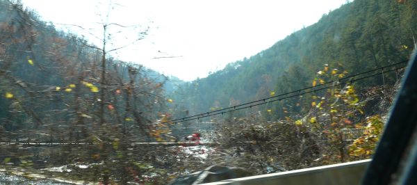
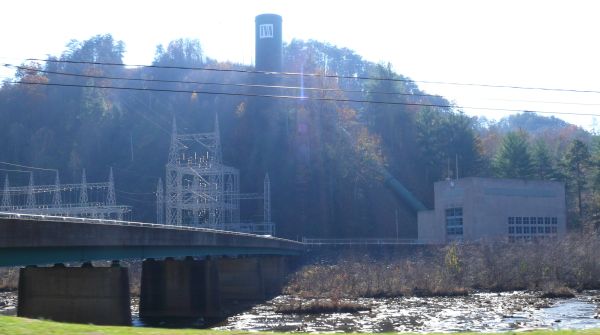
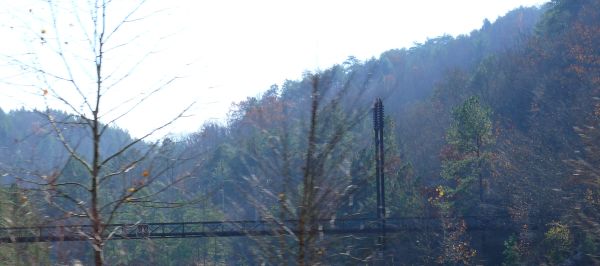
| Bridges and Dams on the river. | ||||
| Miles 1859 - North Carolina | NC | 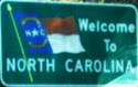 | 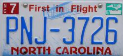 | ||
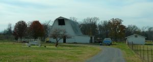
| 18 | Miles 1877 - Cherokee County | ||||
| |||||
| 19 | Miles 1939 - Great Smoky Mountains | ||||
| Oconaluftee Trail (southern entrance to the Great Smoky Mountains National Park). | ||||
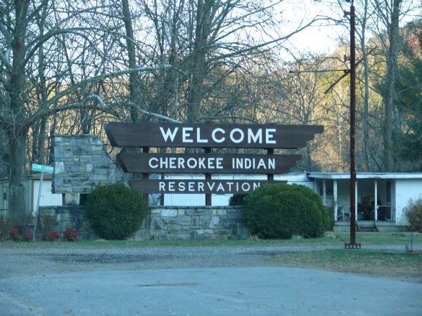
| Cherokee Indian Reservation. | ||||
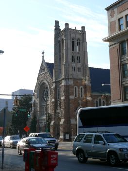
| 20 | Miles 2224 - Durham | ||||
| Day #08 - Mon, 13/11/2006 | |||||
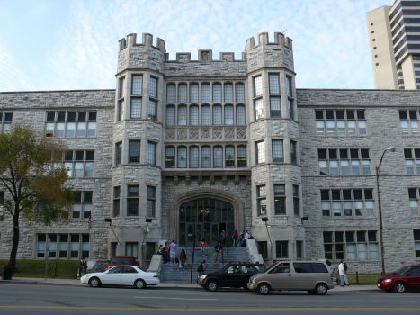
| 21 | Miles 2251 - Raleigh | ||||
| |||||
| 22 | Miles 2417 - Atlantic Beach | ||||
| Day #09 - Tue, 14/11/2006 | |||||
| 22 | Miles 2417 - Atlantic Beach & Carteret County | ||||
| |||||
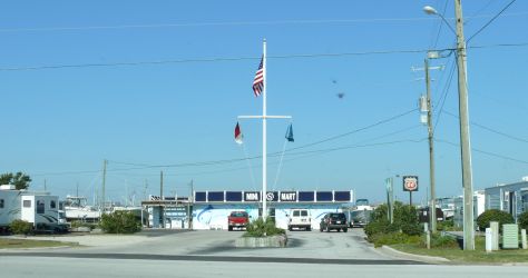
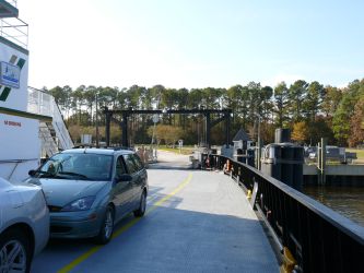
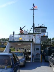
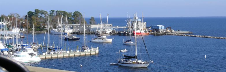
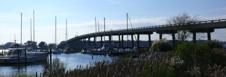
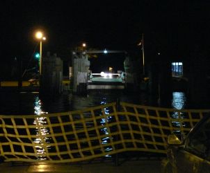
| 23 | Miles 2464 - Cherry Branch-Minnesott Ferry | ||||
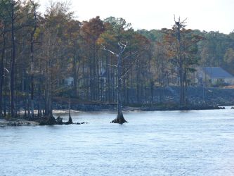
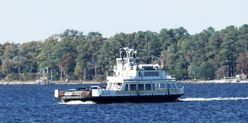
| |||||
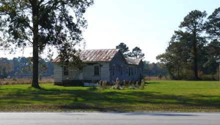
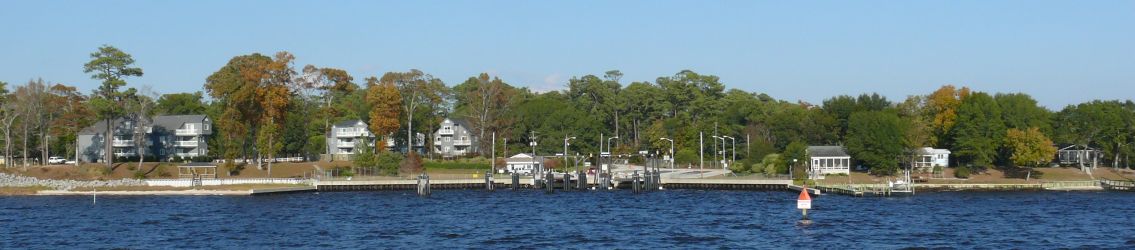
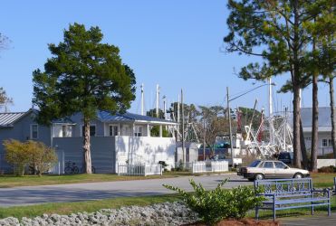
| 24 | Miles 2475 - Oriental | ||||
| |||||
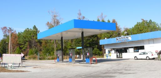
| 25 | Miles 2512 - Aurora Ferry & River Breeze Bar | ||||
| |||||
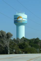
| 26 | Miles 2564 - Lake Mattamuskeet | ||||
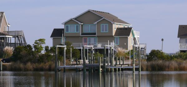
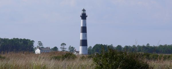
| 27 | Miles 2628 - Nags Head | ||||
| Day #10 - Wed, 15/11/2006 | |||||
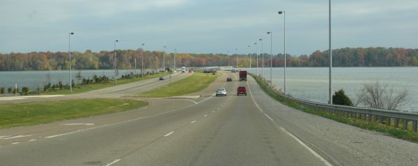
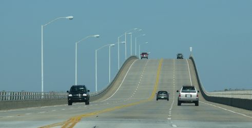
| 27 | Miles 2628 - Nags Head | ||||
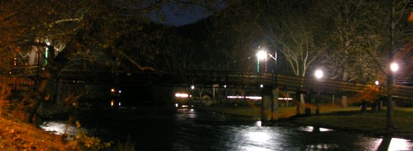
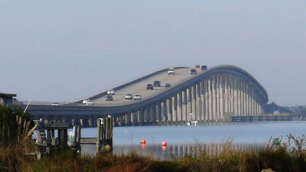 | One of the many bridges connecting the mainland to the North Carolina's Outer Banks. This kind of bridges is so tall in the middle to allow big ships to pass. | ||||
 | |||||
 | |||||
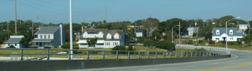
| 27 | Miles 2648 - North Carolina's Outer Banks | ||||
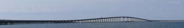
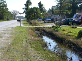
| The Outer Banks is a strip of very narrow (half a mile to 2 miles on average) sandy islands in front of North Carolina's mainland coastline that is close to 200 miles (more than 300 Km) long and a few to dozens of miles off-shore. Beside few small towns in the bigger islands, the Outer Banks are wildlife refuges. It's possible to drive along (almost) all the Outer Banks, practically on the ocean, hopping from island to island on bridges or riding ferries. | ||||
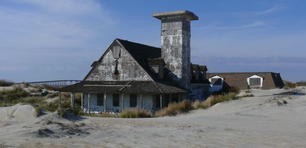
| 27 | Miles 2675 - Roanoke Island | ||||
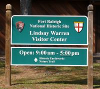  
| Fort Raleigh in Manteo, on Roanoke Island, is the site of the first English colony settled in 1585 A.D., but there is really nothing left of it. Today, you can only see modern signs around the visitor center. This place was also the safe haven of runaway black slaves during the US civil war. Again, only modern signs remain. | ||||
| 27 | Miles 2693 - Kitty Hawk | ||||
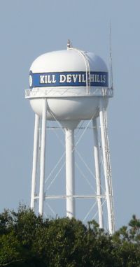 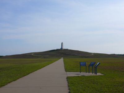
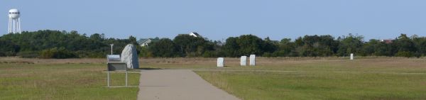
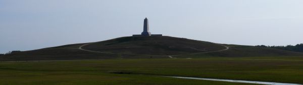
| On a hill south of town, in a place called Kill Devils Hills, the Wright brothers flew for the first time for a few hundred yards. There is a huge monument on the hill in a park you have to pay to get in, however nothing is left but modern signs in the shape of white rocks on the ground telling you where the experiment happened and a very limited flight museum that only has reproductions on display but nothing original. Of course, whether the Wright brothers were the first to fly is disputed, but in this place you can read everywhere that flying was invented here, from kytes to space flight, despite the fact that space flight uses rockets instead of wings and rockets were invented by the Germans. Th slogan on Noth Carolina's license plates is "First in Flight". | ||||
| 28 | Miles 2721 - Digger's Dungeon | ||||
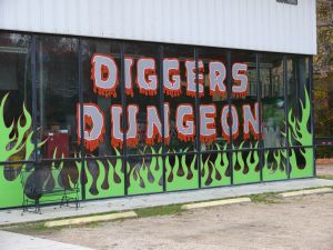 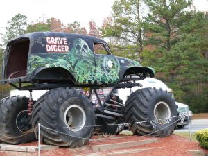
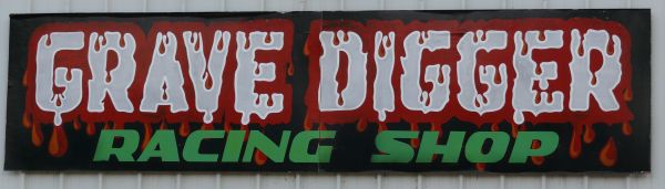
| The original workshop where Grave Diggers monster trucks are made. <Official Site> | ||||
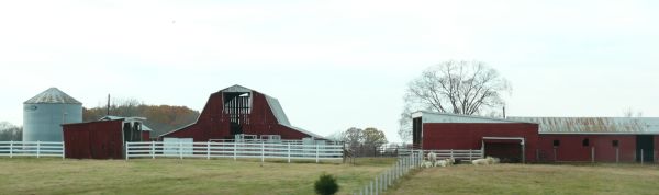
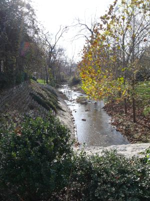
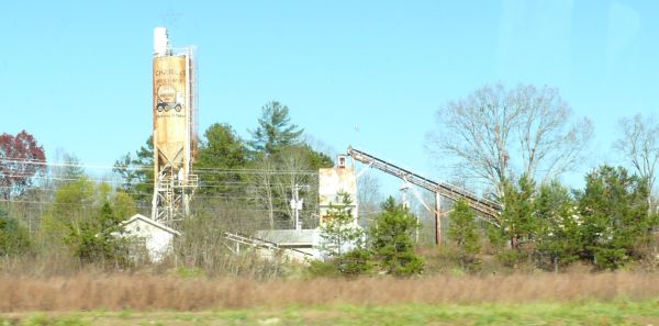
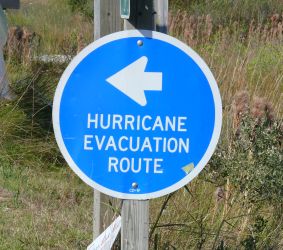
| 29 | Miles 2771 - Great Dismal Swamp | ||||
 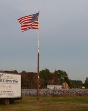 
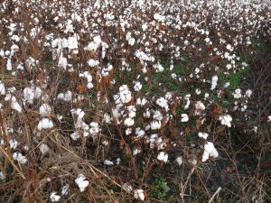 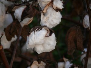
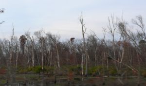 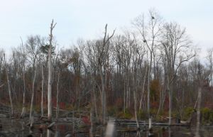
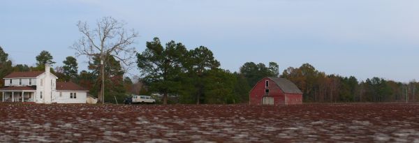
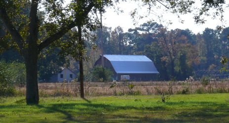
| The Great Dismal Swamp is barely marshy, let alone greatly or dismally so. For the most part of its 60 miles it is now farmland with small towns and houses scattered all over the place. Many fields are cotton fields. | ||||
| Miles 2774 - Virginia | VA | 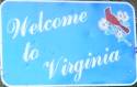 | 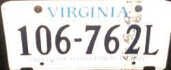 | ||
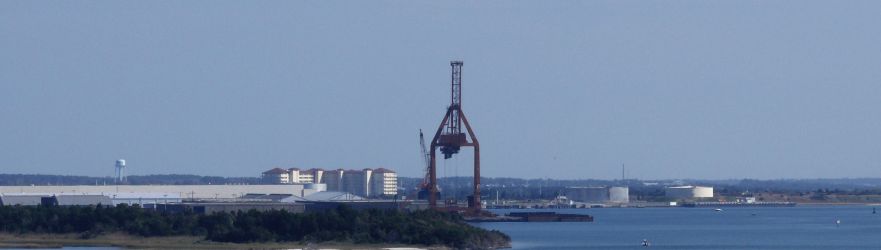
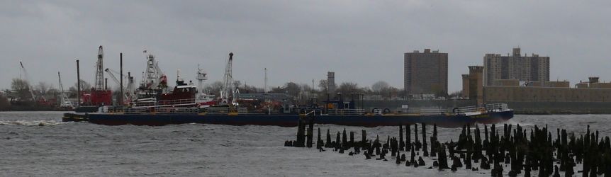
| 30 | Miles 2832 - Hampton | ||||
| Miles 3010 - District of Columbia | DC |  |  | ||
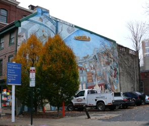
| 31 | Miles 3015 - Washington, DC | ||||
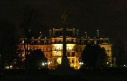  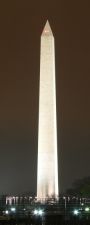
| From left to right: the Old Executive Office Building (on the left side of the White House), the White House (dark at night), the Washington Monument. | ||||
| Miles 3018 - Maryland | MD |  |  | ||
| 32 | Miles 3051 - Annapolis | ||||
| Day #11 - Thu, 16/11/2006 | |||||
| 32 | Miles 3054 - Chesapeake Bay Bridge (William Preston Lane, Jr. Memorial Bridge) | ||||
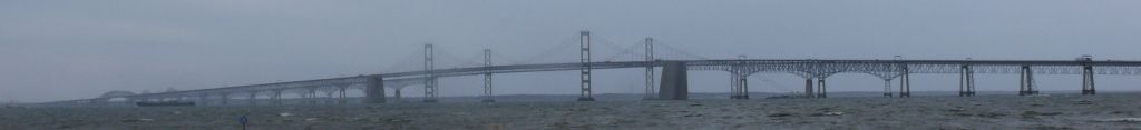 | |||||
 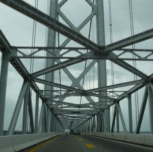
| Opened in 1952, it's the 63rd longest suspension bridge in the world (488m, 1600ft) and connects Annapolis with Kent Island over the Chesapeake Bay. The bridge is actually 2 twin bridges next to each other, the first opened in 1952 and the second one in 1973. The bridge is composed of several sections beside the suspended span, for a total length of 4.9 miles (6.9 Km), making it one of the longest bridges in the world. | ||||
| Miles 3104 - Delaware | DE | 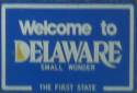 |  | ||
| 33 | Miles 3114 - Chesapeake & Delaware Canal Bridge (Senator William V. Roth, Jr. Bridge) & St. Georges Bridge | ||||
 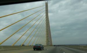
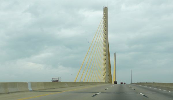
| Opened in 1995, the C&D Canal Bridge is a 229m (750ft) long cable-stayed bridge, spanning the Chesapeake & Delaware Canal. The St. Georges Bridges is an older steel-truss bridge opened in 1940. | ||||
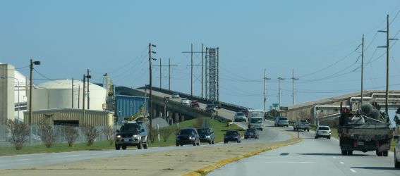
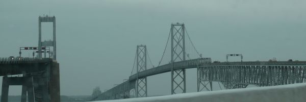
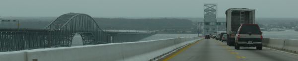
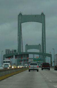
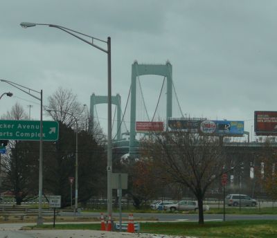
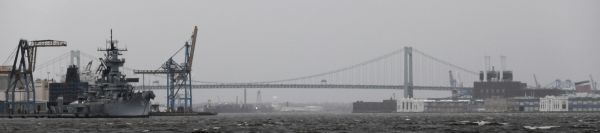
| 34 | Miles 3135 - Delaware Memorial Bridge | ||||
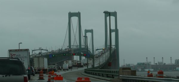
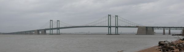
| Opened in 1951, it's the 40th longest suspension bridge in the world (655m, 2150ft) and connects New Castle, Delaware, with Deepwater, New Jersey, spanning the Delaware River at the border between Delaware and New Jersey. The bridge is actually 2 twin bridges next to each other, the first opened in 1951 and the second one in 1968. The bridge was partly designed by Othmar Ammann, who also designed the Verrazzano-Narrows Bridge in New York City. | ||||
| Miles 3139 - New Jersey | NJ | | | ||
| Miles 3169 - Pennsylvania | PA | | | ||
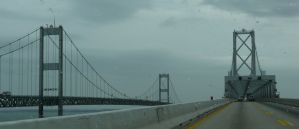
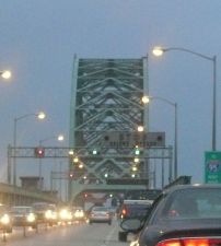
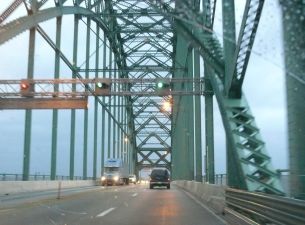
| 35 | Miles 3170 - Walt Whitman Bridge | ||||
| Opened in 1957, it's the 44th longest suspension bridge in the world (610m, 2000ft) and connects Philadelphia, Pennsylvania, with Gloucester City, New Jersey, spanning the Delaware River at the border between Pennsylvania and New Jersey. | ||||
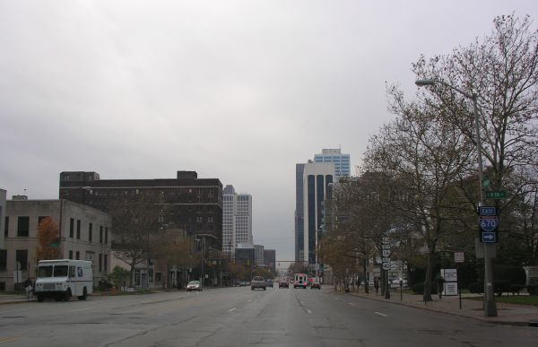
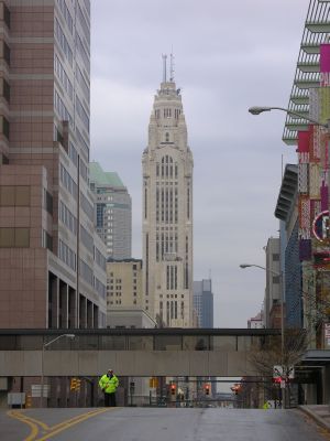
| 35 | Miles 3174 - Philadelphia | ||||
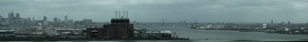 | The Delaware River seen from the Walt Whitman Bridge looking northward. Philadelphia is on the left and Gloucester City on the right. Across the river, it's possible to see the Ban Franklin Bridge despite the haze. | ||||
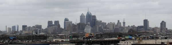 | Philadelphia's skyline seen from the Walt Whitman Bridge looking northward. | ||||
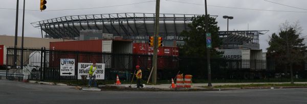 | The Lincoln Financial Field (The Linc), home of the Philadelphia Eagles NFL football team. | ||||
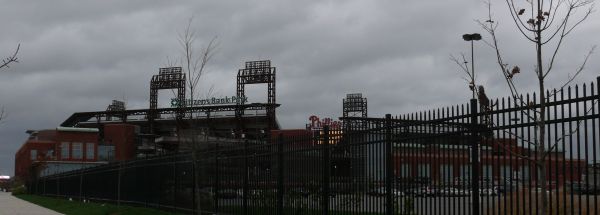 | The Citizens Bank Park, home of the Philadelphia Phillies MLB baseball team. | ||||
| |||||
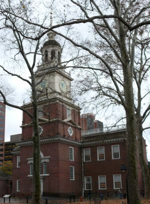 | The Independence Hall is the location where the US Declaration of Independence was approved on July 4th 1776. It was built between 1732 and 1753 and it was the seat of the Federal Government before Washington, DC. Until 1876 the bell tower held the Liberty Bell, which was then moved to a display location and replaced by the Centennial Bell on the centennial of the Declaration of Independence. | ||||
| 35 | Miles 3177 - Benjamin Franklin Bridge | ||||
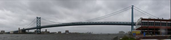 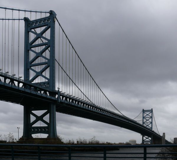 | Opened in 1926, it's the 54th longest suspension bridge in the world (533m, 1750ft) and connects Philadelphia, Pennsylvania, with Camden, New Jersey, spanning the Delaware River at the border between Pennsylvania and New Jersey. When it opened in 1926, it was the longest suspension bridge in the world, until it was surpassed in 1929 by the Ambassador Bridge in Detroit. The bridge was originally named Delaware River Bridge and is now usually called just Ben Franklin Bridge. | ||||
| Miles 3178 - New Jersey | NJ | | | ||
| Miles 3189 - Pennsylvania | PA | | | ||
| 35 | Miles 3189 - Tacony-Palmira Bridge | ||||
  | Opened in 1929, connects the Tacony neighborhood of Philadelphia, Pennsylvania, with Palmira, New Jersey, spanning the Delaware River at the border between Pennsylvania and New Jersey. | ||||
| Miles 3217 - New Jersey | NJ | | | ||
| Miles 3259 - New York | NY | | | ||
| 36 | Miles 3259 - Outerbridge Crossing | ||||
| (no picture) | Opened in 1928, connects Staten Island with Perth Amboy, New Jersey, over the Arthur Kill. | ||||
| 36 | Miles 3276 - Verrazzano-Narrows Bridge | ||||
| (no picture) | Opened in 1964, it's the 7th longest suspension bridge in the world (1298m, 4260ft) and connects Staten Island with Brooklyn over the Narrows of the New York Bay. When it opened in 1964, it was the longest suspension bridge in the world, until it was surpassed in 1981 by the Humber Bridge in England. The yearly New York Marathon starts at the western anchorage in Staten Island and crosses the bridge. | ||||
| Miles 3430 |  | ||||